- Location
- Louisiana
- Current protection
- Atchafalaya National Wildlife Refuge, Lake Fausse Pointe State Park, Atchafalaya National Heritage Area
- Status
- No active campaign
- In the book
- Featured in Undiscovered America
Why should it be a National Park?
One of the United States' most well-known, but also least appreciated landscapes are the bayous. While the Everglades, Biscayne, and Congaree National Parks all protect environments that people perceive as swamps, each of these wetlands contain very different landforms, plants, and animals than the bayous. The bulk of bayous are found along the Gulf Coast between Houston and the Florida panhandle, with the highest concentration in Louisiana.
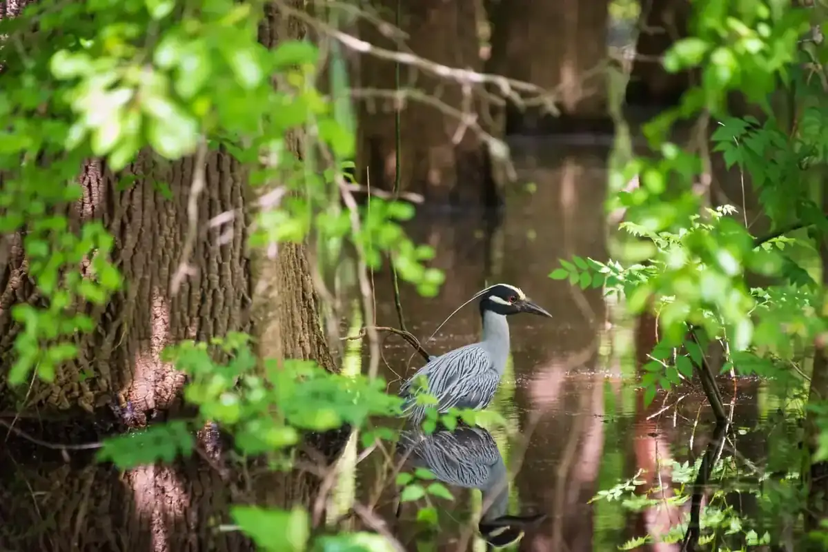
The Atchafalaya Basin is the nation's largest river swamp, containing almost one million acres of America's most significant bottomland hardwoods, swamps, bayous, and backwater lakes. The delta system found here is at the convergence of the Gulf of Mexico and the Atchafalaya River, stretching through parts of eight parishes (Louisiana's term for counties due to early French settlers). The brackish waters and the island forests that populate the Atchafalaya basin foster crawfish, shrimp, catfish, frogs, toads, alligators, crocodiles, herons, turtles, spoonbills, snakes, and many other species.
Over the last two centuries, massive dredging and efforts to use the basin as an overflow for Mississippi River floods have reshaped the lands into a spillway and disrupted the flora and fauna. Small sections of the basin have been federally designated as National Wildlife Refuges and a National Heritage Area, which The National Park Service defines as a place designated by Congress where natural, cultural, historic and scenic resources combine to form a cohesive, nationally distinctive landscape arising from patterns of human activity shaped by geography.
The wildlife refuges were established in the 1980s and 90s in order to create a sustainable home and management area for the local endangered species. Fortunately for ongoing conservation efforts, the basin also includes over 100,000 acres of state lands that have yet to be altered by dams and water management like most of the southern wetlands. It is time to solidify the protection of this basin and create a National Park that encompasses all of these already protected areas. This will ensure the land is managed in a consistent way. Recently a proposal has been made by the local chapter of the Sierra Club to turn the Louisiana acreage into a National Park, with the stipulation that the lands remain under state ownership. At the time of this writing, there has been surprising success with their proposal, with several state politicians open to the idea of the park.
The Sierra Club chapter proposal calls for a roadless environment that is only accessible by boat. The land is currently not open for resource extraction, although it's hard to see how the basin could remain untouched as populations and energy needs rise, not to mention the current political climate in the United States toward public lands. Consequently, it would be important to move quickly to solidify the proposal into a National Park before someone proposes an alternate use for the land that would take it out of its natural state.
During 2014, the Sierra Club Acadian Group pushed for the creation of an "Atchafalaya Basin National Park".
The history of National Park Campaigns
The nation's largest river swamp is protected through a patchwork — Atchafalaya NWR (1986), the Sherburne WMA, Indian Bayou (USACE), the state Atchafalaya Basin Program (1998 master plan), and the Atchafalaya National Heritage Area (2006). A national-park idea has circulated among Louisiana Sierra Club activists (Delta/Acadian chapters; Harold Schoeffler; Dean Wilson, founder of Atchafalaya Basinkeeper) and appeared in public comments on the NHA management plan, but there has been no NPS study or bill. The best-documented articulation is the 2014 Sierra Club proposal [Round 7: CONFIRMED — Acadian Group/Delta Chapter, championed by Harold Schoeffler; covered in The Advocate, 2014; Louisiana HCR 82 (2014) commended Schoeffler].
- Distinct National Park attempts
- 1 (2014 Sierra Club proposal; advocacy only)
- Other designation attempts
- 4+ (NWR 1986, Floodway easements 1985, Basin Program 1998, NHA 2006)
Sources
- Atchafalaya NHA Management Plan/EA (2011)
- FWS Atchafalaya NWR Comprehensive Conservation Plan (2011/2012)
- Sierra Club Delta/Acadian Chapter newsletters
- Louisiana HCR 82 (2014)
- local press (The Advocate, Daily Advertiser)
- 1984/1986
Atchafalaya National Wildlife Refuge established (FWS, ~15,000 acres; Wikipedia dates the refuge to 1986).
- 1985
Atchafalaya Basin Floodway System Act (USACE) — recreation and environmental easements across the floodway.
- 1998
Atchafalaya Basin Program state master plan signed into law (Sierra Club's Charlie Fryling and Harold Schoeffler involved in the "sustainability" accord).
- 2006
Atchafalaya National Heritage Area designated (managed by the state Atchafalaya Trace Commission; management plan/EA finalized 2011).
- c. 2010–2011
national-park sentiment in NHA scoping. Public comments on the Atchafalaya NHA Management Plan urged: "This area must become a National Park to save it" and to "develop a plan to make this area a National Park so it can be regulated to protect its environment." Source: NPS parkplanning.nps.gov scoping comments.
- 2014
Atchafalaya National Park proposal (Sierra Club). A local Sierra Club chapter proposed a National Park incorporating the Atchafalaya NWR, the Sherburne Complex WMA, and the greater basin. Reported in local press as "Group: Create big Atchafalaya National Park / Sierra Club pushes for National Park status." Source: Wikipedia "List of proposed National Parks of the United States"; Louisiana press (The Advocate, 2014).
- 2014
Louisiana HCR 82, by Rep. St. Germain, commended Harold Schoeffler for his Atchafalaya advocacy — not a park memorial, but the closest legislative artifact and it frames the basin as "the nation's largest and most productive river swamp... covering more than eight hundred thousand acres." Source: legis.la.gov.