- Location
- Nebraska
- Current protection
- Niobrara National Scenic River, Fort Niobrara National Wildlife Refuge, Smith Falls State Park
- Status
- Authorized study never acted on
- In the book
- Not featured in Undiscovered America
Why should it be a National Park?
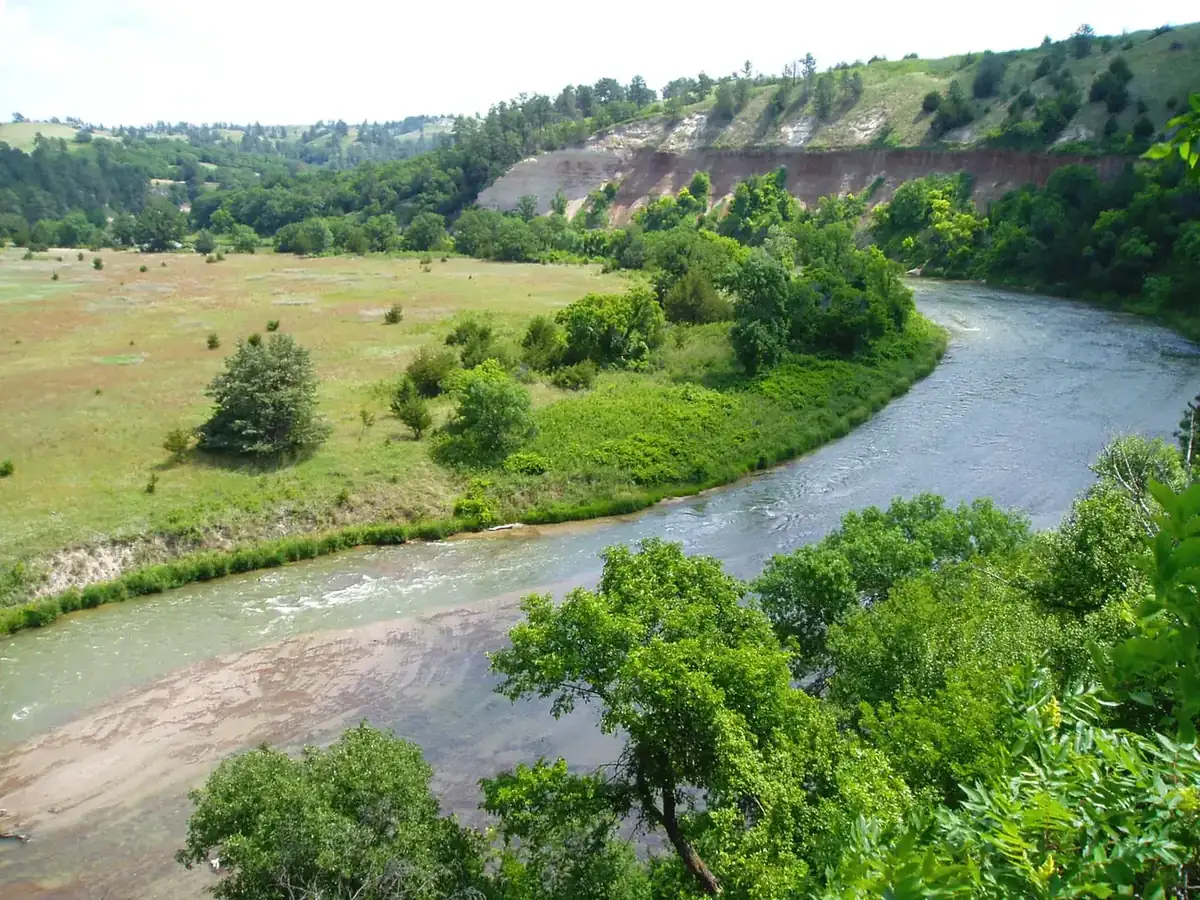
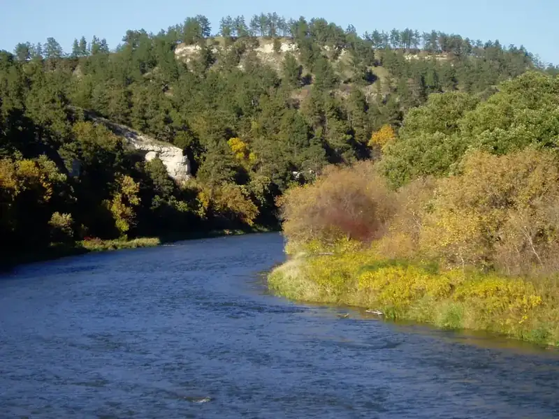
The Niobrara runs east across northern Nebraska through a valley that should not contain what it contains. Six ecosystems overlap here: tallgrass prairie, mixed-grass prairie, shortgrass prairie, Sandhills prairie, eastern deciduous forest, and northern boreal forest, with ponderosa pines whose nearest relatives grow a state away in the Black Hills. Species that have no business meeting hybridize in this valley. It is one of the most biologically strange seventy-six miles in the country, and it looks, from the highway, like Nebraska.
More than two hundred waterfalls drop off the canyon walls into the river. They come out of the Ogallala Aquifer rather than off the surface, which means they run year-round at about fifty degrees and never freeze or dry. It also means they have the wrong shape. Most waterfalls are concave, eaten backward into the cliff. These are convex, pushing outward, because minerals and microorganisms armor the face while frost pries the sidewalls apart. Smith Falls, the tallest in Nebraska at about sixty-three feet, is the one to stand under.
Fort Niobrara National Wildlife Refuge at the western end keeps a few hundred bison and a small elk herd on Sandhills prairie, and it protects Fort Falls. Most of the rest of the riverbank is private ranchland, which is why the float trip is the way people see it.
The Army Corps wanted to dam the Niobrara at Norden. The fight over that dam ran through the 1970s and 1980s and ended with the river designated a National Scenic River in 1991 instead. Tucked into that law was a clause directing the Park Service to study a 138,000-acre Niobrara-Buffalo Prairie National Park on the edge of the Sandhills. The study came back favorable. Nothing happened. Thirty-five years later the authorization has never been acted on, and the most interesting biological crossroads on the Great Plains remains a thin line on the map, seventy-six miles long and mostly somebody's ranch.
The waterfalls are the reason people come, and the canoes are the reason the fight over this river matters. Tens of thousands of people float the scenic stretch every summer, most of them on outfitter tubes out of Valentine, which means the river already carries park-level use on a corridor that is mostly private ground with public water running through it.
For biologists the valley is a laboratory. Because six plant communities meet here, species that should never encounter each other do, and they hybridize: eastern and western warblers, oaks, flickers. The zone is narrow, it is documented, and it is one of the better-studied hybrid corridors in North America, which is a form of national significance that has nothing to do with scenery.
The Nature Conservancy's Niobrara Valley Preserve protects a large piece of the middle river, and a 2012 wildfire burned much of it, which is a reminder of what the Sandhills do. Public ownership along the river is thin and scattered, and any park proposal would have to be built out of willing sellers and easements rather than a line on a map. That, more than any lack of merit, is why the 1991 study went nowhere.
The history of National Park Campaigns
The 1991 law creating the Niobrara National Scenic River included a clause directing the NPS to study a roughly 138,000-acre Niobrara-Buffalo Prairie National Park on the edge of the Sandhills. The survey reported favorably but the Service took no further official position, and the idea has been dormant since. The scenic river protects a Great Plains biological crossroads where six ecosystems meet.
- Distinct National Park attempts
- 1 (1990–91 study)
- Other designation attempts
- 2 (refuge 1912; scenic river 1991)
Sources
- NPS, Niobrara National Park Study, Nebraska
- P.L. 102-50 (Niobrara Scenic River Designation Act of 1991)
- National Parks Traveler coverage of Great Plains grasslands
- 1912
Fort Niobrara National Wildlife Refuge established.
- 1980
The Nature Conservancy establishes the Niobrara Valley Preserve.
- 1970s–1980s
The Norden Dam fight; an NPS study of alternatives follows.
- May 24, 1991
Niobrara National Scenic River authorized, roughly 76 miles, with a clause directing study of a 138,000-acre Niobrara-Buffalo Prairie National Park.
- Early 1990s
The NPS study reports favorably; no further official action. The idea has been dormant since.