- Location
- Hawaii
- Current protection
- Waimea Canyon State Park, Kōke'e State Park, Nā Pali Coast State Wilderness Park
- Status
- No active campaign
- In the book
- Not featured in Undiscovered America
Why should it be a National Park?
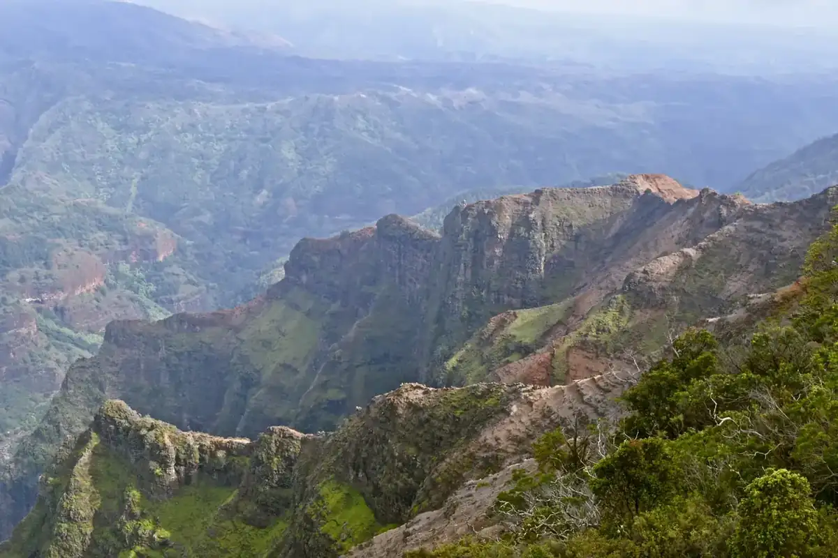
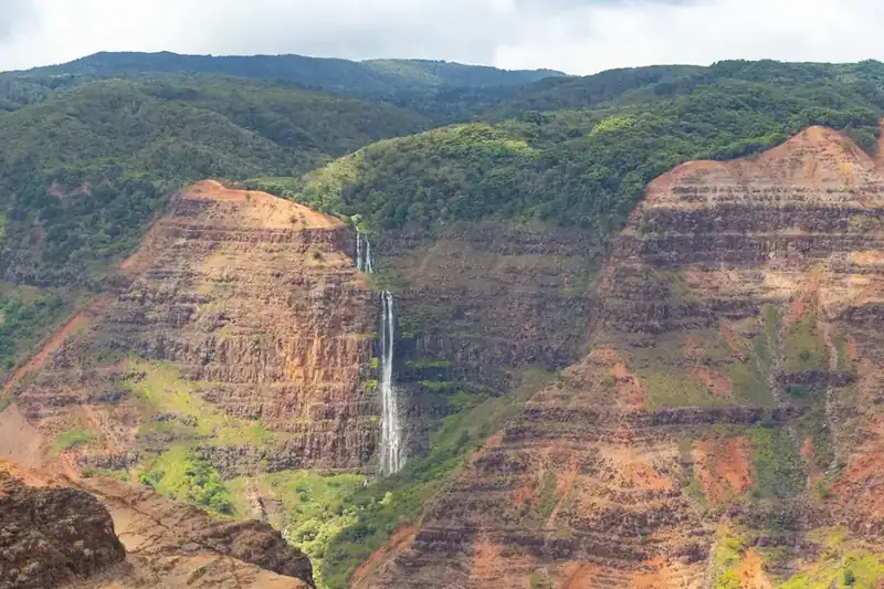
Waimea Canyon runs ten miles through the western side of Kaua'i and drops three thousand feet, cut into the basalt of a shield volcano that has been eroding for five million years. Mark Twain is supposed to have called it the Grand Canyon of the Pacific, which he probably did not, but the name stuck because it is close enough to true. Waipo'o Falls drops eight hundred feet into it. A paved road climbs from sea level to four thousand feet along the rim.
Above the canyon sits Kōke'e, a plateau of native forest with forty-five miles of trails, and beyond that the Alaka'i, a montane bog perched near the summit of Mount Wai'ale'ale, among the wettest places measured on Earth. Endemic honeycreepers live in this forest and almost nowhere else. Walking the Alaka'i Swamp boardwalk, a person passes through a rainforest found on one island on one planet.
On the north side the plateau ends. The Nā Pali cliffs fall four thousand feet to the sea in a series of fluted ridges, and the only land route through them is the eleven-mile Kalalau Trail. The valleys behind those cliffs held Hawaiian settlements for centuries, with taro terraces still visible, and they are among the most photographed landscapes in the world.
In 1965 the National Park Service proposed tying all of it together as Kaua'i National Park: Nā Pali, Waimea Canyon, Kōke'e, and Hā'ena, in one unit. The proposal collapsed against the people who already used the land. Cabin holders with state leases in Kōke'e did not want to lose them. Hunters did not want to lose access. Sightseeing helicopter operators did not want restrictions. The lands became state parks instead, and Kaua'i has no National Park today. The proposal is sixty years old and nobody has picked it up since, which makes it perhaps the most complete National Park that America drew on a map and never built.
The 1965 proposal failed for reasons worth remembering, because they are the reasons most Hawaii proposals fail. The land in question was a patchwork of state holdings, Robinson family property, and homestead leases dating to the Territory, and the state had no appetite for handing its best upland park to Washington. Kauai got a state park system instead, which is what it still has.
Alakai above the canyon is the part scientists would fight for. It is a high plateau bog fed by four hundred inches of rain a year, where a boardwalk keeps people out of ground that will swallow a leg, and where several of the last Hawaiian forest birds hang on above the mosquito line. That line is moving uphill as the climate warms, and the birds have nowhere further to go, which makes this one of the few places on the list where the clock is measured in years rather than decades.
Na Pali gets the attention and deserves it. The Kalalau Trail runs eleven miles along cliffs to a beach with no road to it, permits are gone the day they are released, and the helicopter traffic has been argued over for years. Kauai's objection in 1965 was about who would hold the land, which is a solvable question rather than a verdict on the place: title can stay with Hawaii, as it does with the Navajo Nation at Canyon de Chelly, and the canyon, the Alakai, and Na Pali can still be recognized for what they plainly are.
The history of National Park Campaigns
In 1965 the National Park Service formally proposed a Kaua'i National Park linking Nā Pali Coast, Waimea Canyon, Kōke'e, and Hā'ena. It collapsed against opposition from state-lease cabin owners, hunters, and sightseeing helicopter operators. The lands became state parks instead, including Nā Pali Coast State Wilderness Park in 1983. No National Park exists on Kaua'i today and the idea has been dormant for sixty years.
- Distinct National Park attempts
- 1 (1965)
- Other designation attempts
- 3+ (state parks; state wilderness park 1983; Alaka'i Wilderness Preserve)
Sources
- National Park Service, 'Kauai National Park: A Proposal' (1965), npshistory.com
- Hawaii Division of State Parks records
- Kōke'e Natural History Museum archives
- Office of Hawaiian Affairs records on federal land designations
- 1965
The National Park Service publishes 'Kauai National Park: A Proposal,' linking Nā Pali Coast, Waimea Canyon, Kōke'e, and Hā'ena into a single unit. Contemporary coverage described an area of roughly 150 square miles; the proposal's exact acreage is unconfirmed.
- Mid-1960s
The proposal collapses against opposition from Kōke'e state-lease cabin holders, hunters, and sightseeing helicopter operators.
- 1980s
Hawaii consolidates the lands as state parks instead: Waimea Canyon State Park (1,866 acres) and Kōke'e State Park (4,345 acres), together more than 6,200 acres.
- 1983
Nā Pali Coast State Wilderness Park established, 6,175 acres, with the adjoining Hono O Nā Pali State Natural Area Reserve later extended to over 3,578 acres in 2009.
- Present
No federal park proposal; the idea has been dormant since 1965.