- Location
- California
- Current protection
- Carrizo Plain National Monument
- Status
- No active campaign; monument under federal review
- In the book
- Featured in Undiscovered America
Why should it be a National Park?
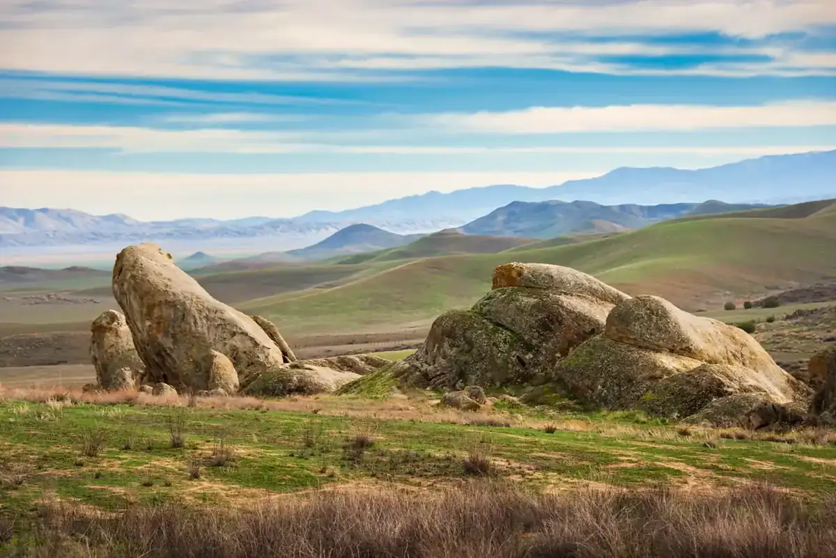
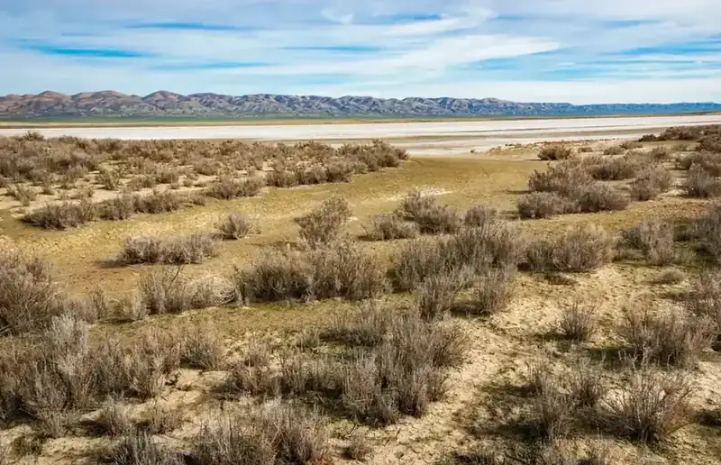
Most Americans have never heard of Carrizo Plain, although it lies only 130 miles to the Northwest from Los Angeles. It is located between San Luis Obispo and Bakersfield in California's Central Valley and was established as a Bureau of Land Management administered national monument in 2001. Unfortunately, the 250,000 acre Carrizo Plain Monument attracts only 30,000 visitors a year. At the same time, Joshua Tree National Park, although 10 miles farther from LA, attracts 1.6 million visitors a year. Containing vast wildflower-covered grasslands dotted with dry ponds and salt flats, Carrizo Plain is 15 miles long and 45 miles wide. Two striking, rugged, and nearly impassable mountain ranges, the Temblor Range to the north and the Caliente Range to the South, rim the grasslands. The area boasts cultural and natural features, such as the exposed portions of the San Andreas fault, Soda Lake, historic farmsteads, and 2,000-year-old petroglyphs. Native animals like pronghorn antelope run free on the fenceless valley, and wildflowers light up the hillsides in rainbows of color each spring. Despite the important cultural, natural, and recreational features of Carrizo Plain, BLM continues to allow extractive uses like commercial livestock grazing, oil, and gas drilling that threaten to destroy the largest remaining natural grassland in California. In the 18th Century, small groups of Spanish and Portuguese immigrants began moving into the valley, displacing the native population. However, the European settlers, desperately searching for water and farmable land were confronted with an incredibly tough terrain. Steep hills and badland ravines create a protective barrier along the northern and southern borders of the plain, and the San Andreas Fault cuts across the land adding further danger due to seismic activity. For centuries, the range was considered virtually impassable, but over the last century roads were built, many of them dirt, allowing more access to the plain.
The handful of abandoned farmsteads scattered through the valley document the brave, but failed attempts at making a living here. Even today, there are no inhabitants as the terrain, lack of water and isolation prove too difficult. The remaining dilapidated buildings provide a stark relief of the challenging and lonely lifestyles the settlers once faced.
Carrizo Plain allows visitors to see something hard to find in Southern California, the way the region looked before it was overrun by pioneers and the urbanization that followed. This is perhaps the final opportunity to view an environment humankind has long since altered. To preserve and protect this environment from legalized extraction of its natural resources, as well as let people know this undisturbed setting persists, Carrizo Plain must be redesignated as a National Park.
The history of National Park Campaigns
The Carrizo Plain was assembled as a conservation landscape in the late 1980s by The Nature Conservancy, the BLM, and the California Department of Fish and Game, then elevated by presidential proclamation to a BLM-managed national monument in 2001. No National Park was ever proposed. Its post-2001 history is about grazing and management-plan fights, a 2017 monument review it survived, and a 2025 review it is now weathering.
- Distinct National Park attempts
- 0
- Other designation attempts
- 2 (Natural Area 1987–88; National Monument 2001) plus the 2012 NHL district
Sources
- Proclamation 7393 (66 FR 7339)
- BLM Carrizo Plain NM RMP (2010)
- Federal Register notice 67 FR 20122 (Apr. 24, 2002)
- TNC "Carrizo Plain" history
- Santa Barbara Independent, "Saving the Silence" (2009)
- Santa Maria Sun, "Protect the plain?" (2024)
- Mid-1980s
TNC and the BLM agree to explore acquiring Carrizo ranchland to protect the San Joaquin kit fox, giant kangaroo rat, blunt-nosed leopard lizard, and pronghorn/tule elk range.
- 1987
Public and private efforts "culminated in the creation of The Carrizo Plain Natural Area, jointly managed by The Nature Conservancy, California Department of Fish and Game, and The Bureau of Land Management." (Friends of Carrizo Plain, carrizo.org/about)
- 1988
TNC buys 82,000 acres from Oppenheimer Industries; Congress funds BLM purchases of 51,000+ acres in FY1988–89. Holdings grow to ~250,000 acres over time. (TNC; Santa Maria Sun; Santa Barbara Independent)
- 1990s
Carrizo Plain Natural Area Management Plan (BLM/TNC/CDFG) adopted; later cited by BLM as the monument's interim management basis. (Federal Register, April 24, 2002)
- January 17, 2001
Carrizo Plain National Monument, Proclamation 7393 (Clinton), part of Interior Secretary Bruce Babbitt's BLM landscape-monument program. BLM lists 211,045 acres of public land; total monument footprint ~246,000 acres including inholdings. Grazing and existing oil leases (four active wells in the Caliente Range; ~100,000 acres of valid mineral rights) grandfathered. (BLM; New Times SLO)
- May 23, 2001
Carrizo Plain Rock Art Discontiguous District (Painted Rock) listed on the National Register; March 2, 2012 designated a National Historic Landmark District. (Wikipedia, citing NRHP)
- 2001–2005
First monument manager Marlene Braun begins a management plan phasing out long-term grazing permits; conflict with her supervisor, her May 2005 suicide, a federal investigation, and the collapse of that plan. (Santa Barbara Independent, "Saving the Silence," April 16, 2009)
- 2002 Federal Register notice → 2010
Resource Management Plan process; RMP approved 2010.
- 2017
Included in Secretary Zinke's Antiquities Act review; no change recommended.
- 2025
New federal monument review; "Save the Carrizo" campaign forms (savethecarrizo.org). (Santa Maria Sun)